Power / design target
More than 2 GWCapacity specified in the fictional development brief.
 IntercontinentalTransatlantic
Sector 35 Infrastructure Registry / 2140
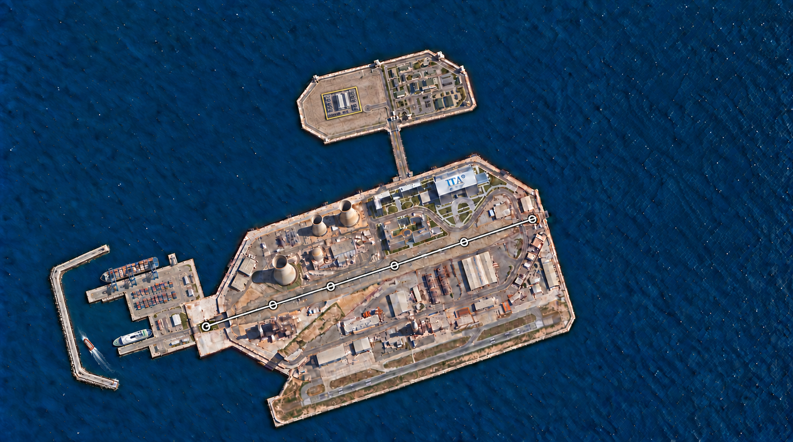
An offshore platform south of Santa Maria. Consult the original industrial base, northern data-centre campus, separate military compound and western cargo and ferry harbour across five reference drawings.
S35 / CARTOGRAPHIC RECORD
Five views of the offshore base, northern campus and western harbour.
Satellite / REFERENCE DRAWING
The offshore base, northern extension and western harbour. Gold marks the entire data-centre campus.
Drag to explore · Pinch or Ctrl + scroll to zoom · Keyboard: + / −, arrows, 0 for overview. Position and zoom are retained between views.
IMAGE LANDMARKS / 8 REFERENCES
Select a landmark to locate it across the five drawings. Numbers refer to visible features in this edition.
Illustrated positions. The bridge and railway retain their separate geographic register.
Street names belong to the fictional sector plan. Select a street to locate its traced alignment; zoom in to read nearby names.
The complete data-centre campus has a target area of 120,000 m²: 12 hectares, nominally 400 × 300 metres. This includes server halls, cooling, power infrastructure, internal access and security. The military compound is separate.
Power / design target
More than 2 GWCapacity specified in the fictional development brief.
Hardware / design target
Up to 1,000,000 AI acceleratorsPlanned compute capacity: 1,000,000 PFLOPS.
Site record
Offshore platformThe base is near Santa Maria, not on the island. No land connection to Santa Maria is shown.
Concept drawings and design targets. Areas, capacities and transport connections are not engineering or operational certifications.
Loading destination. Please stand by.