
rail
34B / Freight track 2RoutineNo restriction is listed for this asset. Local instructions remain applicable.
 IntercontinentalTransatlantic
Loading destination. Please stand by.
Sector 34 Infrastructure Registry / 2140
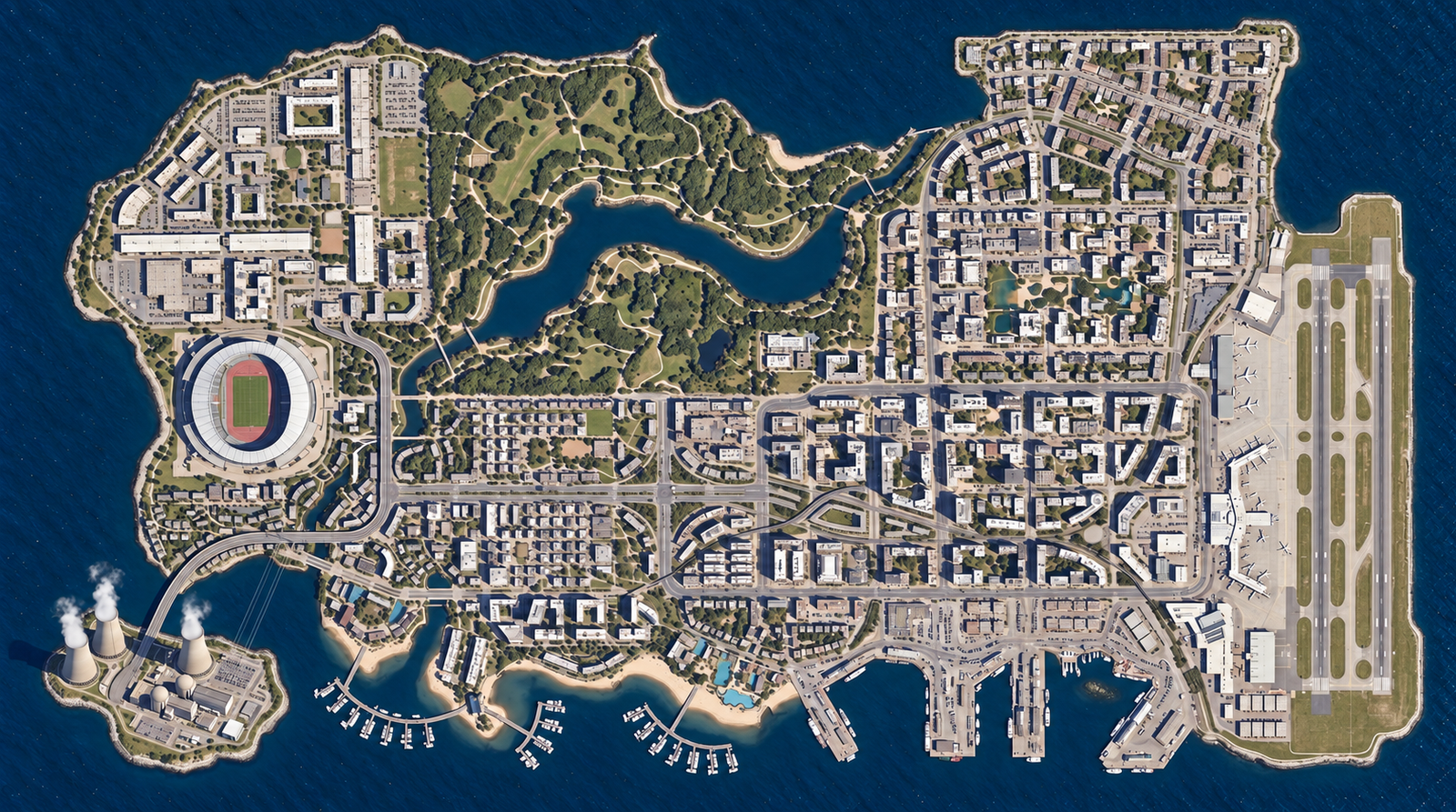
A city at the central interchange. Explore its neighbourhoods, parkland, working harbour and eastern airfield through five reference drawings, with the bridge alignment held in a separate register.
S34 / CARTOGRAPHIC RECORD
Five views of the city, its waterfront and transport connections.
Satellite / REFERENCE DRAWING
Coastline, neighbourhoods and infrastructure in the revised aerial drawing.
Drag to explore · Pinch or Ctrl + scroll to zoom · Keyboard: + / −, arrows, 0 for overview. Position and zoom are retained between views.
IMAGE LANDMARKS / 10 REFERENCES
Select a landmark to locate it across the five drawings. Numbers refer to visible features in this edition.
Illustrated positions. The bridge and railway retain their separate geographic register.
Street names belong to the fictional sector plan. Select a street to locate its traced alignment; zoom in to read nearby names.
rail
34B / Freight track 2RoutineNo restriction is listed for this asset. Local instructions remain applicable.
Report generated at 21:24:49 UTC.